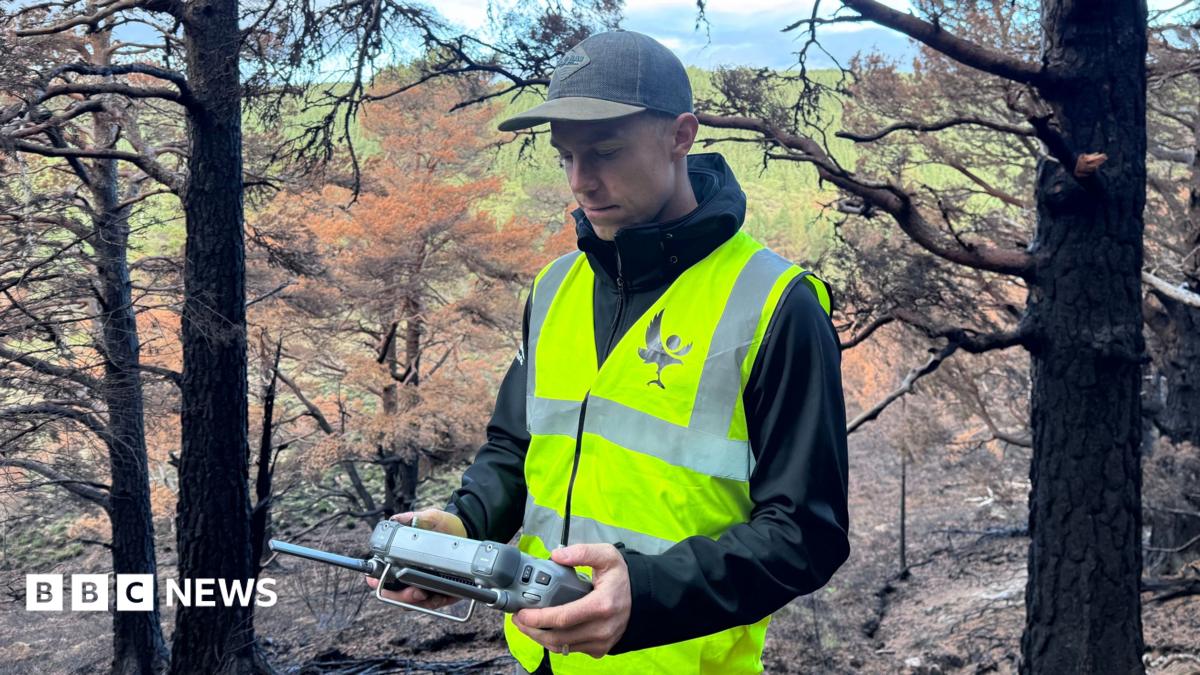
How drones are hunting the invisible embers that still smoulder beneath the Cairngorms, and why that matters for fire‑prone regions from the Scottish Highlands to the hills of Kashmir, is the question that keeps technologists awake at night. The very word “How” has become a mantra for engineers desperate to out‑smart nature’s most stubborn infernos.
According to BBC Technology, the massive July blaze that turned the Cairngorms into a sea of orange vanished from view within days, yet thermal imaging later revealed pockets of heat still licking the ground. The report notes that unmanned aerial vehicles equipped with infrared sensors have been deployed to locate those hidden hotspots, preventing a slow‑burn resurgence.
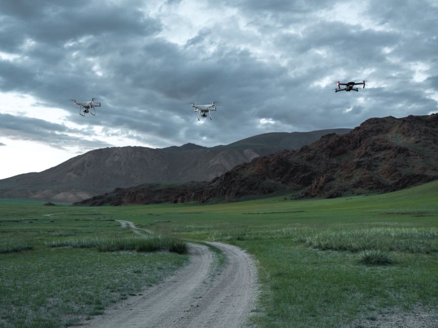
How drone surveillance is redefining wildfire response
The significance of this development stretches far beyond Scotland’s rugged terrain. In recent years, the United Kingdom has grappled with record‑breaking fire seasons, while the Middle East wrestles with desert‑fire flashpoints and South Asia battles seasonal forest conflagrations. What makes the Cairngorms experiment a template is the blend of AI‑driven pattern recognition and real‑time data streaming, which allows incident commanders to dispatch crews only where the heat persists. In fact, the drones can hover at low altitude, scan a hectare in under a minute, and relay a heat map to ground teams within seconds. This precision cuts response time dramatically, a factor that could save lives and ecosystems alike.
The technology does not exist in a vacuum. Governments across the globe have poured billions into satellite fire monitoring, yet satellites suffer from cloud cover and latency. Drones fill that gap by providing a “close‑up” view that satellites cannot match. Moreover, AI algorithms trained on past fire data can predict the likelihood of re‑ignition in specific soil types, a capability that is already being tested in the arid valleys of Jordan and the monsoon‑soaked slopes of the Western Ghats. As a result, the same methodology that is taming the Cairngorms could soon become a staple in the fire‑management playbooks of nations that face both drought and dense vegetation.
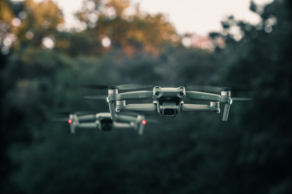
Hot take: The race to own the sky may outpace safety nets
The upside is clear: faster detection, targeted suppression, and reduced costs. However, the rush to commercialise fire‑fighting drones raises thorny questions about regulation, privacy, and the very nature of public safety. Private firms are now offering “as‑a‑service” drone fleets to municipalities, promising 24/7 monitoring for a subscription fee. While this sounds like a win, it also hands critical emergency data to profit‑driven entities that may prioritize contract renewals over community needs. In fact, a recent parliamentary inquiry in the UK warned that reliance on third‑party platforms could create a single point of failure if a cyber‑attack disables the data pipeline.
On the other hand, proponents argue that the alternative—waiting for human crews to scour miles of rugged terrain—is both dangerous and inefficient. They point to the Cairngorms case, where a single drone sortie identified three hidden hotspots that would have otherwise reignited the fire weeks later. The stakes are high: a missed ember in a dry peat bog can release enough carbon to offset years of renewable investment. Therefore, the technology’s promise is undeniable, but the governance framework is still catching up.
Moreover, the geopolitical angle cannot be ignored. Nations in the Middle East that have invested heavily in oil and gas are now confronting the reality that climate‑driven wildfires threaten infrastructure and oil pipelines alike. If they adopt the same drone‑AI model, they could protect both their economic assets and the surrounding populations. Conversely, failure to integrate such tools could exacerbate regional instability, especially in border areas where fire smoke already fuels diplomatic tensions. The same logic applies to South Asia, where cross‑border forest fires have become a recurring source of diplomatic friction between India and Bangladesh.
The mainstream narrative often celebrates drones as a silver bullet, yet the reality is messier. The technology works best when paired with ground crews, community education, and robust legal safeguards. Ignoring the human element—training locals to interpret heat maps, maintaining clear airspace rules—could render even the most sophisticated drones ineffective. As a result, the ultimate success of drone‑based fire hunting will hinge on how well policymakers blend innovation with accountability.
The Cairngorms experiment is a glimpse into a future where the sky is constantly scanning for danger, where AI whispers the exact moment a hidden flame will flare. Whether that future saves forests in Scotland, shrines in the Middle East, or tea plantations in South Asia depends on the choices we make today. If we let profit and bureaucracy dictate the terms, we risk swapping one disaster for another. If we act with foresight, the answer to “How” we fight fire may finally be within reach.
Source: BBC Technology